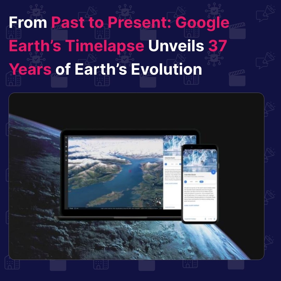
Google Earth has introduced a new 3D Timelapse feature that allows users to observe the changes that have occurred on Earth over the past 37 years. Developed using 24 million satellite images, this interactive 4D experience covers the period from 1984 to 2017. The feature highlights the impact of global warming, deforestation, and urban expansion on different regions of the planet. Users can select any location, change camera angles, and choose a specific year to view the changes.
This update marks the biggest enhancement to Google Earth since 2017. Previously, Google Earth had a simpler timelapse option that I had used to demonstrate the loss of forest cover in the Aravalli hills. However, the new 3D Timelapse feature offers full global coverage and a more immersive experience. It provides a visual representation of dynamic changes caused by climate change and human behavior.
To create this planet-sized timelapse video, Google utilized its cloud platform for geospatial analysis called Earth Engine. The process involved over 2 million processing hours across thousands of machines in Google Cloud, compiling 20 petabytes of satellite imagery into a single 4.4 terapixel-sized video mosaic. Some notable changes captured in the timelapse include the expansion of Las Vegas, the development of agriculture in the desert of Al Jowf, Saudi Arabia, the protection of the Amazon rainforest by the Surui people in Rondonia, Brazil, and the transformation of Kuwait City over the years.
Disclosure: Some of the links in this article may be affiliate links, which can provide compensation to me at no cost to you if you decide to purchase a paid plan. These are products I’ve personally used and stand behind. This site is not intended to provide financial advice and is for entertainment only. You can read our affiliate disclosure in our privacy policy.